
Water Tools List

Global Watershed Delineator
Global Watersheds is a free, interactive web application developed by Matthew Heberger, a research hydrologist, that allows users to delineate watersheds (drainage basins) and trace downstream flow paths anywhere in the world by simply clicking on a map. The tool eliminates the need for specialized GIS software, making watershed analysis accessible to researchers, engineers, educators, students, and the general public.

Global Forest Watch (GFW)
Global Forest Watch (GFW) is a free online platform developed by the World Resources Institute (WRI) that uses satellite imagery and geospatial data to monitor forests and land-use change worldwide. It provides interactive maps, alerts, and downloadable data to track deforestation, wildfires, biodiversity, carbon stocks, and conservation areas, supporting informed decision-making for forest management and climate action.

Drought Observe
DroughtObserve is a free web-based platform developed by IHE Delft that provides near real-time drought monitoring and forecasting across Africa and the Middle East and North Africa (MENA) using FAO WaPOR satellite data. The dashboard helps users assess drought severity through indicators such as vegetation health, precipitation, and evapotranspiration, supporting water management, agriculture, and drought preparedness.

Climate Reanalyzer
Climate Reanalyzer is a free, web-based platform developed by the University of Maine that provides interactive maps, charts, and climate data for monitoring weather and climate conditions worldwide. It enables users to analyze temperature, precipitation, sea ice, drought, and other climate variables to support research, water resources management, disaster preparedness, and climate change assessment.
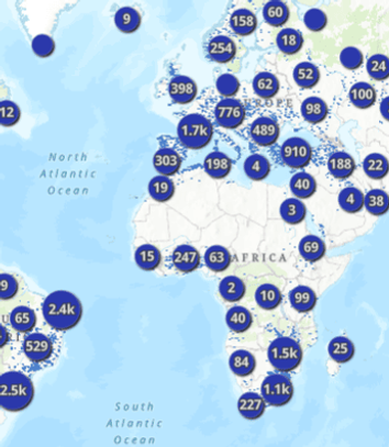
Global Dam Watch - Map Viewer
Global Dam Watch is a free interactive mapping platform that provides access to one of the world's most comprehensive open-access databases of dams, reservoirs, and river barriers. The platform enables users to visualize, search, and analyze water infrastructure worldwide, making it a valuable resource for researchers, engineers, policymakers, students, and water professionals involved in hydrology, river basin management, hydropower, and environmental planning.

NASA GRACE Data Analysis Tool
NASA GRACE Data Analysis Tool is a free interactive web application that enables users to visualize and analyze satellite-derived changes in Earth's terrestrial water storage, including groundwater, soil moisture, surface water, ice, and snow. The platform provides global maps, time-series analysis, basin-scale statistics, and data downloads, making it an essential resource for monitoring water resources, drought, floods, and climate-driven hydrologic changes.

Copernicus Emergency Management Service (CEMS)
Copernicus Emergency Management Service (CEMS) is a free Earth observation platform by European Union that delivers timely satellite imagery, emergency mapping, and early warning information for natural disasters and humanitarian crises around the world. The service provides operational tools for monitoring floods, droughts, wildfires, and other hazards, helping governments, emergency responders, researchers, and humanitarian agencies improve disaster preparedness, response, risk assessment, and recovery planning.
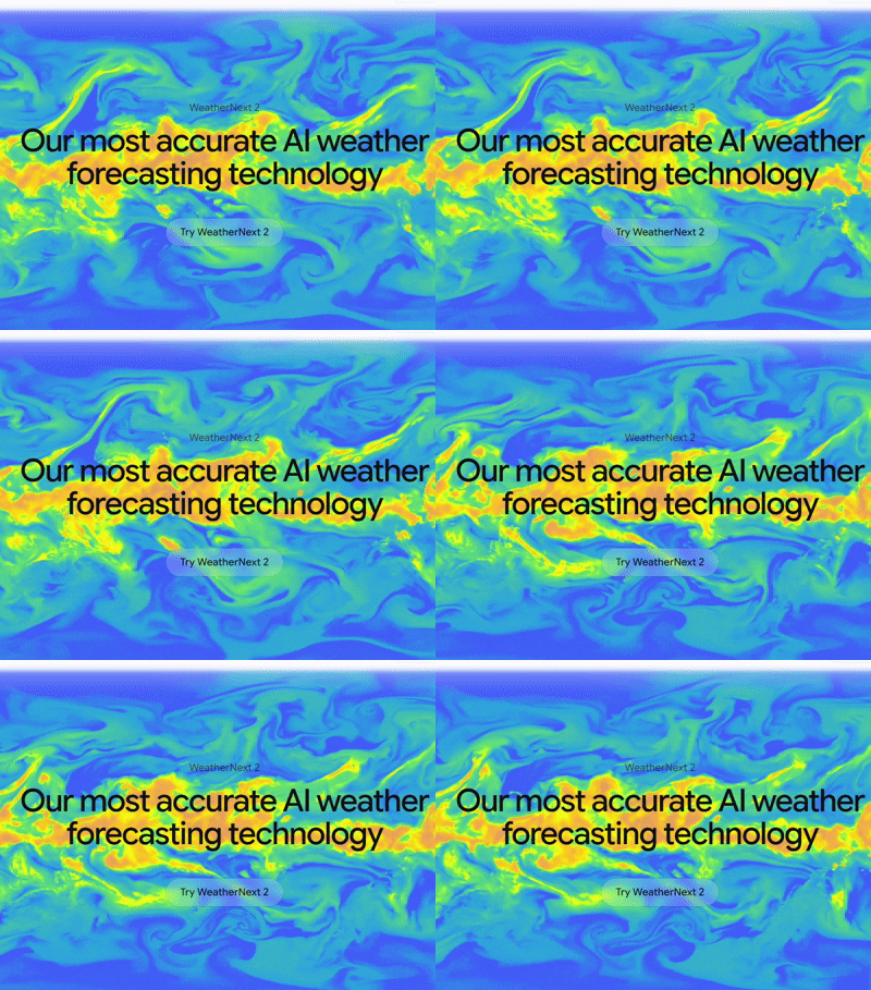
Google DeepMind Weather Lab (Experimental)
Google DeepMind Weather Lab is a free experimental web platform that showcases Google's latest AI-powered weather forecasting research. The platform enables users to explore experimental predictions for tropical cyclones - including storm track, intensity, size, and potential development - alongside traditional weather forecast models. By generating multiple forecast scenarios up to 15 days in advance, Weather Lab is designed to support weather researchers and meteorological agencies in evaluating next-generation AI forecasting technologies.
Important: Weather Lab is an experimental research platform currently under development by Google DeepMind and Google Research. Its predictions are not official weather forecasts or warnings and should not be used by the public for operational or safety-critical decision-making. Users should always rely on their national meteorological agency or official weather service for authoritative weather forecasts and emergency warnings.

Zoom Earth - Live View Satellite Imagery and Weather Radar
Zoom Earth is a free, interactive weather and satellite mapping platform that provides near real-time satellite imagery, weather radar, and global forecast data. Users can monitor tropical cyclones, storms, wildfires, cloud cover, rainfall, temperature, wind, and air quality through an intuitive web interface. With frequent satellite updates and animated visualizations, Zoom Earth is a valuable resource for tracking active weather events, supporting situational awareness, and enhancing environmental research and education.